"...the aviation enthusiasts and photographers bible."
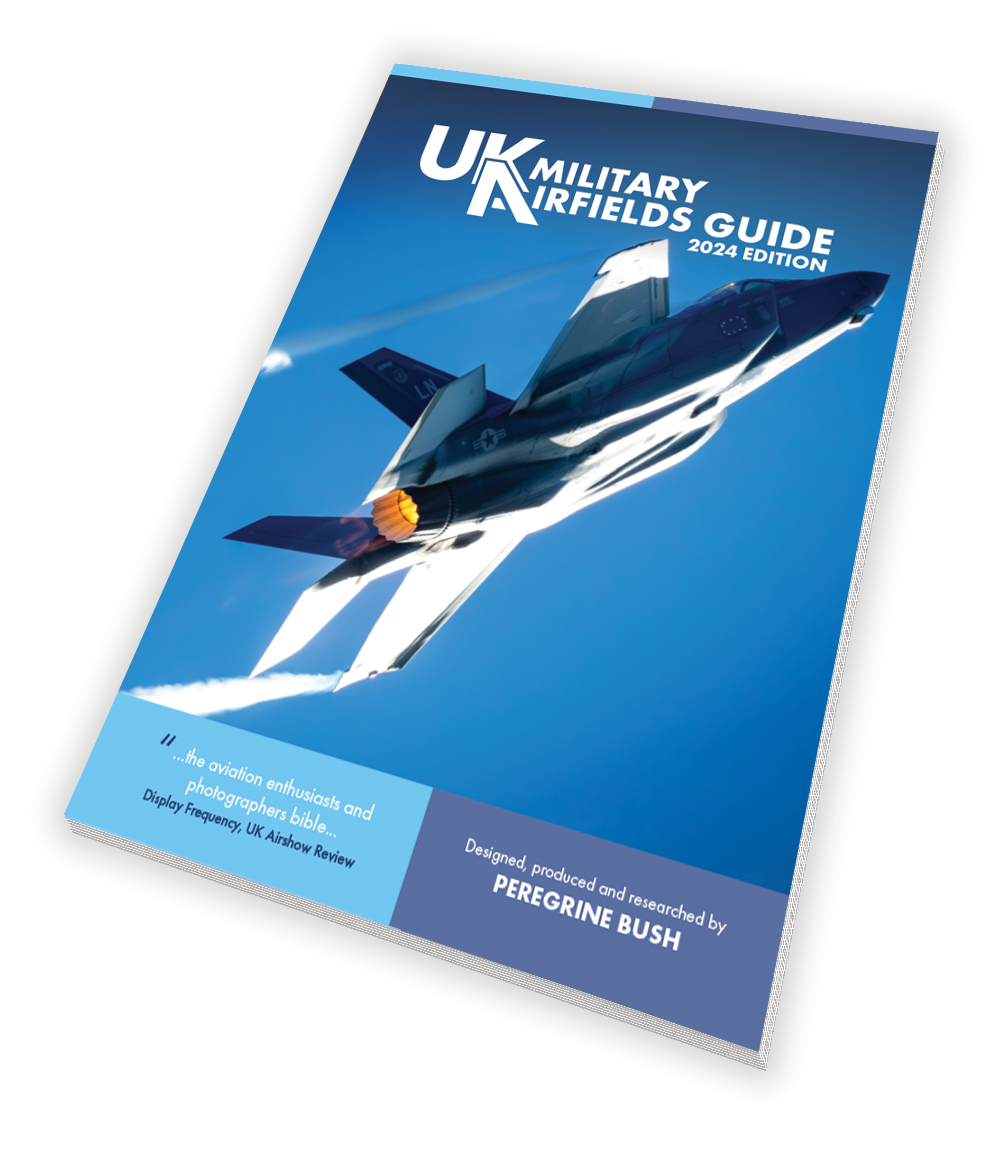
UK Military Airfields Guide | 2024 edition
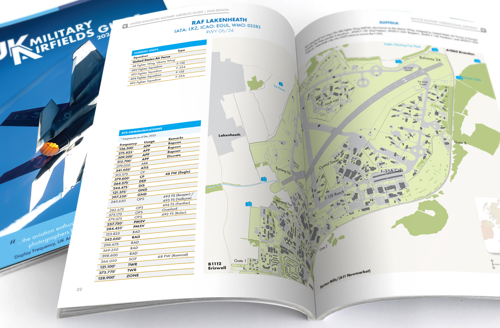
This 2024 edition of the guide has been produced for aviation enthusiasts, spotters and photographers. It includes the United Kingdom’s military airfield establishments featuring full colour maps of those operated by Royal Air Force, Royal Navy, British Army, United States Air Force and the Ministry of Defence.
To order you copy of this fantastic guide click on the links below, select from Paperback Perfect Bound, Paperback Coil Bound or an E-Book
UK Military Airfields Guide
This book has been fully revised for the 2024 edition with all maps updated and revised. The 2024 guide has been produced for aviation enthusiasts, spotters and photographers. It includes the United Kingdom’s military airfield establishments featuring full colour maps of those operated by Royal Air Force, Royal Navy, British Army, United States Air Force and the Ministry of Defence.
Featured
UK Military Airfields Guide | 2024 edition. Now in its 9th edition and fully updated for 2024. It features maps on the major and minor military airfields within the United Kingdom. A4 paperback publication in full colour for more infomation...